

Google has imaged 98% of the inhabited Earth
Google announced on Friday just how much of the world it's photographed through its Maps service. Spoiler: it's a lot.
Over the 12 years since its inception, Google’s Street View program has mapped out and photographed over 10 million miles of roads, streets, and pathways. That’s equivalent to more than 400 times around the globe, according to the data giant.
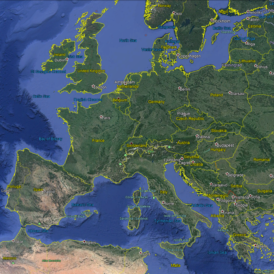
In addition to Street View imagery, Google Earth satellite photos have covered 98% of the inhabited earth (where people live), which sums to more than 36 million square miles.
While Google’s global mapping and imagery services have been extremely prolific, the announcement has drawn focus once again to the sheer amount of data Google has collected over the years. While it’s mapping services are generally regarded as the best in the world, it should be noted that Google makes most of its billions through data-based advertising. This advertising happens in Maps and Earth as well; it might even be more lucrative because of location-based marketing.
What are your thoughts? Is Google Maps beneficial thanks to its massive library of information, or does Google have too much control over too much location data? Let us know in the comments.
Source(s)
